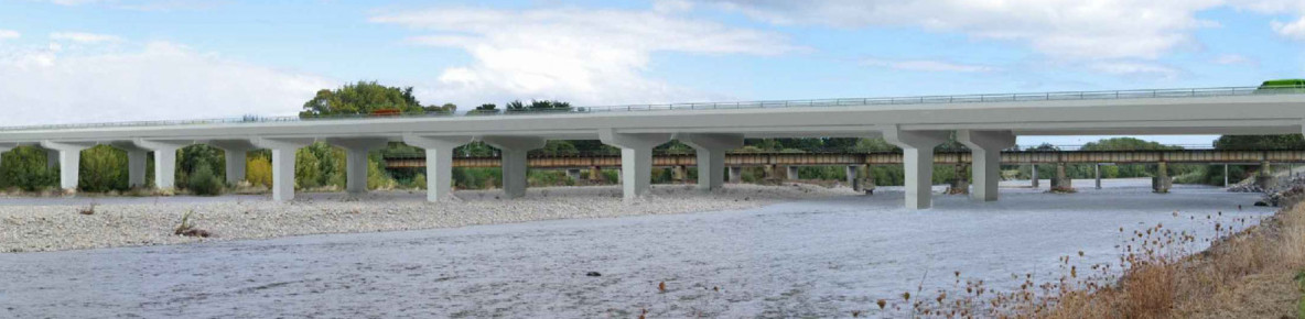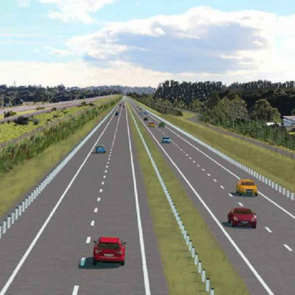
The Peka Peka to Ōtaki Expressway, opened in December 2022, has reduced congestion and improved travel time reliability for people and freight in the area. The expressway bypasses Ōtaki township and is part of the Kāpiti Expressway, connecting to the Mackay’s to Peka Peka section further south.
If you haven’t driven the Peka Peka to Ōtaki (PP2Ō) Expressway before, check out the links below for information about where the on/off-ramps are located and other useful details.
How to drive the Peka Peka to Ōtaki Expressway
Flyover video of the Peka Peka to Ōtaki Expressway
Now the PP2Ō Expressway is open, the status of the old SH1 between Peka Peka and Ōtaki as a state highway will be removed in time and responsibility for it transferred from Waka Kotahi to Kāpiti Coast District Council (this process is called revocation). As the road will officially become a local road, works are required to ensure it’s fit-for-purpose. Head to our Peka Peka to Ōtaki corridor improvements page to find out more.
Peka Peka to Ōtaki corridor improvements
The aim of the PP2Ō Expressway project is to remove congestion points on the route and thereby improve journey time reliability through the Kāpiti District, as well as improve the safety of road users.
This will:
The importance of improving the State Highway 1 network throughout the Kāpiti District was identified by a number of studies. The network faced a number of issues in the district relating to:
In looking at the need for an expressway, we considered:
The project therefore sought to achieve an integrated network that also facilitated local trips and choice in transport modes, while recognising that the transformation of old SH1 to a fit-for-purpose local road is the subject of a separate statutory process.
The 10-km long shared path for cyclists and pedestrians, which runs alongside the Peka Peka to Ōtaki Expressway, opened in May 2023.
Learn more about the PP2Ō shared path
The expressway project has a number of other key features, including:
The access arrangement to and from the expressway for Ōtaki includes south-facing ramps to the south of Ōtaki (at Ōtaki Gorge Road) and north-facing ramps to the north of Ōtaki to provide ease of access in and out of Ōtaki.
The expressway delivers a wide range of benefits, including:
Getting the expressway open in December 2022 involved years of community consultation. Starting in 2001, consultation carried through to 2014 when a Board of Inquiry was appointed to assess and subsequently approve construction of the new road. Following the Board of Inquiry, construction works commenced in early 2017 and six years later the road was opened to road users.
Working with the project’s neighbours and the wider community throughout the construction phase has been an important part of this job. A dedicated community engagement team based locally in Ōtaki has kept people updated through monthly e-newsletters and regular information flyers about works happening in specific areas.
Over the last six years, the project team has worked with over 200 key stakeholders, including iwi, local authorities, transport interest groups, schools, sporting clubs, local landowners, community groups, environmental groups, ecologists and local businesses.
More detailed queries can be mailed to:
Peka Peka to Ōtaki Expressway
NZ Transport Agency
PO Box 5084
Lambton Quay
Wellington 6145