
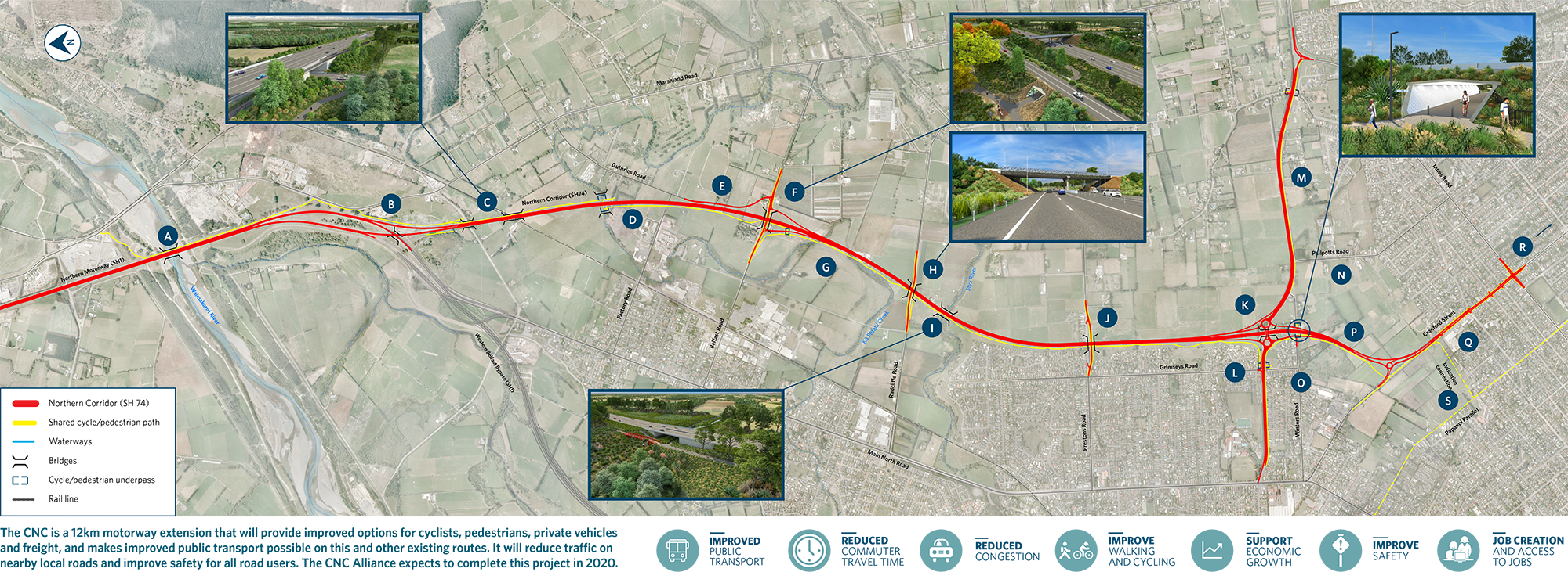
This project combines Waka Kotahi NZ Transport Agency’s Northern Arterial (a new section of SH74 running from just south of the Waimakariri River to QEII Drive near Winters Rd) and two Christchurch City Council projects that link QEII Drive to Cranford St and four-lane Cranford St to Innes Rd.
The Christchurch Northern Corridor (CNC) will extend the Northern Motorway through to QEII Drive and Cranford Street and includes:
The CNC is the first alliance contract of this size in the South Island. It is an alliance between the NZ Transport Agency, Christchurch City Council, Fulton Hogan, Aurecon and Jacobs.
The project brings many benefits to the Christchurch and Canterbury community by unlocking space to provide safe solutions for all travel modes. The CNC project includes options for cyclists, pedestrians, private vehicles and freight, and allows for improved public transport routes and infrastructure. The CNC will make travel times in and out of Christchurch more reliable via all main routes – the CNC, Main North Road, Marshland Road and the Western Belfast Bypass (SH1).
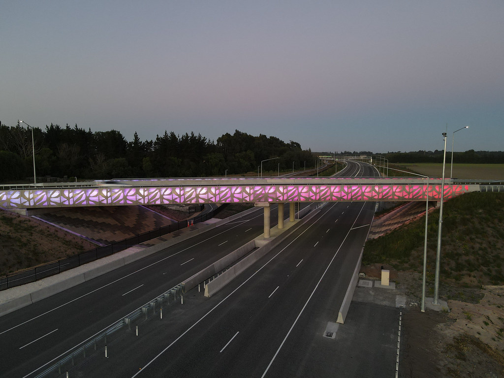
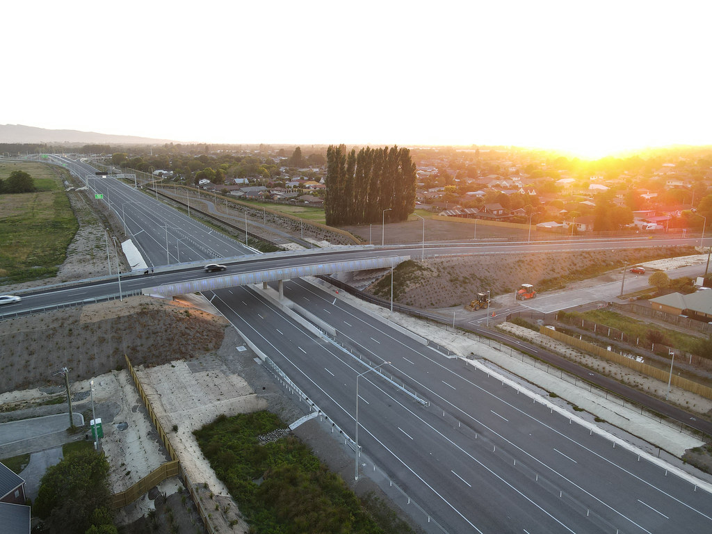
This new motorway and its connections will be built to high modern safety standards and will move heavy traffic off suburban roads making them safer, encouraging walking, cycling and the use of public transport – especially through Redwood and Belfast. Improved efficiency of freight in and out of Christchurch and Lyttelton Port, and better access to the industrial growth area in Belfast is also expected.
For more details on the CNC project, download a copy of the overview map [PDF, 21 MB] pictured below.
This new motorway will unlock future transport solutions the community wants; options for cyclists, pedestrians, private vehicles, freight and public transport. It is critical to supporting the continued growth of Christchurch as a liveable and accessible city, a business centre, the export hub for the South Island’s economy, and to improving journey times for commuters (many of these commuters have rebuilt their homes in North Canterbury following the earthquakes).
![]()
Improved travel times – shorten travel times in and out of Christchurch and improve reliability via all main routes.
Improved access – All modes including freight will move more efficiently in and out of Christchurch and Lyttelton Port.
Safer streets – moving heavy traffic off suburban roads making them safer and encouraging walking, cycling and the use of public transport. The new motorway will be built to high modern safety standards.
Improved options for all modes – As well as the motorway, there will be an off-road cyclist/pedestrian route that includes safe access over the Waimakariri River. Space for an improved public transport corridor on Main North Road/Papanui Road and options for express routes, high occupancy vehicle lanes, park and ride and other facilities.
Economic growth – enable sustainable residential development in the north of Christchurch and support commercial and industrial development throughout Canterbury.
For more information on ways to reduce congestion on the Northern Motorway visit our Northern Corridor Congestion – Facts, Stats and Answers page.
