In April 2018, Waka Kotahi NZ Transport Agency confirmed a 10km-long shared path would be included as part of the PP2Ō Expressway project to provide cyclists, pedestrians and equestrians with a safe trail separated from road vehicles.
The process began with consultation and design phases, with construction commencing after the design – incorporating feedback from the community and key stakeholders – was finalised. The path opened in May 2023.
As well as looking into land availability for the shared path and safety factors, key considerations for the route included the gradient of embankment slopes, connections to schools and recreational sites and the location of rail/road crossings.
Background information
The Peka Peka to Ōtaki (PP2Ō) Expressway is the second stage of the Kāpiti Expressway, and runs for 13km from Taylors Road north of Ōtaki, to tie in with the existing Mackays to Peka Peka (M2PP) Expressway at Te Kowhai Road.
Originally, cycling facilities were going to be designed, developed and included during the revocation phase of the project, and had been intended to run on what will be the old State Highway 1 once the expressway opens.
However, the success of the shared path built as part of the M2PP Expressway led to requests for a similar facility to be built as part of the PP2Ō project. Practically, design constraints unique to the PP2Ō project mean the pathway cannot be identical to the M2PP shared path. For example, the design is constrained by the land available to build on (the designation), which is much narrower than the land secured for M2PP. Aside from safety, key considerations for the shared path options include such issues as embankment slopes, connections to schools and recreation sites, the existing rail corridor and crossing, wetlands and Winstones’ operational work site.
In late December 2018, the NZ Transport Agency announced a preferred route for the shared path proposed to be constructed as part of the Peka Peka to Ōtaki (PP2Ō) Expressway.
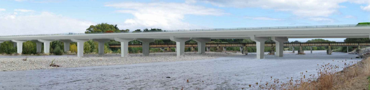
In the recommended alignment, the existing Mackays to Peka Peka (M2PP) shared path south of the Ōtaki River will be extended along the western side of a new local arterial road to Marycrest. It then crosses to the eastern side of the new expressway, joining the proposed PP2Ō shared path at Ōtaki Gorge Road. The path continues northward, crossing the Ōtaki River on the new Ōtaki River Expressway Bridge. North of the Ōtaki River, it passes under and to the western side of the expressway through a large culvert, crossing under the rail corridor and joining the proposed expressway project shared path through the Ōtaki Rail Station.
Community consultation
In June 2017, the Transport Agency asked the community for feedback to help inform the route of the path. Armed with insights about how people in the area wanted to use the path, a series of indicative route alignment options were developed.
In October 2017, three options were presented to more than 1200 people who attended community information days at Otaki and Te Horo.
Feedback from the October information days showed a preference for the shared path to run east of the expressway from Marycrest to the Ōtaki River (option 1) as it offers the following benefits:
- Better connectivity – more people live close to option 1, and it provides better connections to schools and gorge roads. The western side of the expressway already has some quiet street options for cyclists and will have east-west connections across to the shared path at Ōtaki Gorge Road, School Road and at Marycrest
- More comfortable & pleasant – views of the mountains, greater separation from the road, lower traffic volumes
- Safer – fewer intersections, driveways and conflict points with traffic
- An expectation that the western side is likely to also have some cycling facilities provided for in the revocation scheme.
In the preferred alignment, the existing M2PP shared path south of Marycrest will be extended along the western side of a new local arterial road to Marycrest. It then crosses to the eastern side of the new expressway, joining the proposed expressway project shared path at Ōtaki Gorge Road.
The path crosses the Ōtaki River on the new Ōtaki River Expressway Bridge. North of the Ōtaki River, it passes under and to the western side of the expressway through a large culvert, crossing under the rail corridor and runs along the existing SH1, joining the proposed expressway project shared path through the Ōtaki Rail Station.
An interim option will be developed along the local road, between Te Manuao Road and Taylors Road, with options to incorporate shared path or cycling facilities further investigated in the revocation scheme.