
The project will provide a new shared path for walking and cycling between Glen Innes and Tāmaki Drive. The 7km route will enable people to walk, run or cycle from the eastern suburbs to the city centre.
The route will connect with and expand the Auckland Cycle Network and aligns with Waka Kotahi NZ Transport Agency, Auckland Transport and Auckland Council to build world class walking and cycling infrastructure that promotes active modes as safe and convenient transport choices.
Provides a missing link in the Auckland Cycle Network, enabling people to connect with routes to Point England and the city centre via Tāmaki Drive.
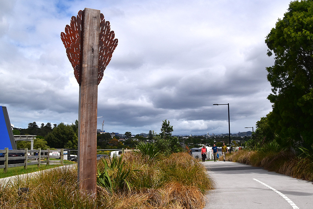
Te Ara Ki Uta Ki Tai (the path of land and sea), is expected to become one of the city’s most scenic bike routes. Allowing people to walk, run or cycle from Auckland’s Eastern Bay suburbs to the Waitematā Harbour.
It will provide better connections for active modes and link to public transport and will be popular with commuters and those using the path for fitness and recreation.
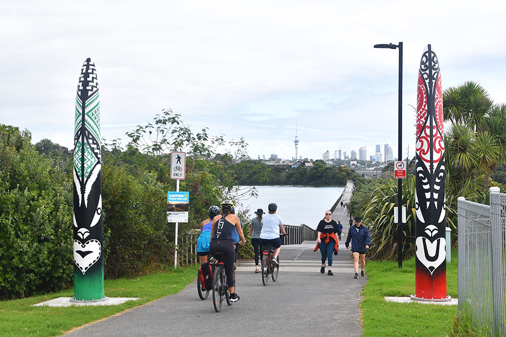
Bring your wheels or explore your new local route on foot – Section 2 between St Johns Road and Ōrākei Basin is now open to the community.
View Section 2 pedestrian access maps
Check out some of the highlights from the completion event which saw locals and keen riders from further afield come together to be the first to experience the spectacular new 2.65km section of path.
Section 1: Merton Road to St Johns Road:
Section 2: St Johns Road to Ōrākei Basin:
Frequently asked questions on Section 2 [PDF, 457 KB]
Section 3: Ōrākei Basin boardwalk:
Section 4: Ōrākei Basin to Tāmaki Drive:
